|
| Ponderosa pine, against a backdrop of massive columnar jointing. |
It’s impossible to ignore Devils Tower if it’s anywhere in sight -- to say it dominates the landscape is an understatement. It’s huge, rising 800 ft above the sandstone platform on which it appears to sit. It measures roughly 3000 ft around at the base, tapering with graceful curves to ca 800 ft at the summit. For this rock monolith to be standing above the nearly-flat sedimentary rocks of the Belle Fourche River valley seems so improbable, and continues to strike me as very bizarre, even though I’ve seen it many times.
 |
| “It is somewhat of a geological puzzle, standing alone as it does, and rising directly out of a country entirely made up of sedimentary rock.” Thomas Moran 1894 |
 |
| The west face -- 600 ft from shoulder to summit. |
The Tower’s form is graceful, and suggestive of symmetry from certain perspectives, but it’s not symmetrical, not even close. All you have to do is walk around it, fly over it, climb it or drive the nearby roads to appreciate the many different views.
 |
| View from grasslands in the northeast part of the park. |
As one approaches Devils Tower, the fluted texture of it’s sides becomes apparent, and its beauty is even more striking. Up close, the overall form of the Tower disappears from view, replaced by giant rock columns. They can be 6 ft or more across, and many are hundreds of feet tall with few horizontal fractures. According to the literature, Tower columns typically are 5-sided but may have as many as 7 sides or as few as 4. [I wonder who did the inventory, and how.]

 |
Why columns? As the Park Service explains, when the magma that formed Devils Tower cooled and began to solidify, it shrank and cracked. Cracks grew out and down, intersected other cracks, and formed columns.
|
From bottom to top, there are notable changes in the structure of the Tower. The base or shouder is massive, up to 100 feet in height. Immediately above it are large columns that lie close to horizontal. Moving up, the columns curve and become “vertical” ... but not quite. They taper upwards, some ending, some merging, and so the walls slope inward, generally 75º to 85º. The upper part of the Tower is much more fractured, vertically and horizontally. The rock is less sound, cracks are wider, and pigeons (rock doves) and pack rats nest there. The summit is rounded, covered with grass and sagebrush, and feels like a hill top. Only from a few places around the edge are there precipitous views.
 |
| View from the south. The leaning column of the Durrance Route, the "easiest" route on the Tower, can be seen about a quarter of the way in from the left edge, just above the curving lower columns (click to view). |
 |
| View from halfway up the west face amid not-quite-vertical columns, looking down on curving columns near the base and talus field below. |
 |
| The upper third of the Tower is more fractured. Maybe it was exposed to erosion longer, or cooled under slightly different conditions ... another of the many mysteries. |
 |
| And what's on top? ... plants and rocks! |
The base of the Tower is surrounded by fallen column fragments. Many are large and boulder-hopping is a challenge. Most of the talus lies close to the base, though scattered boulders dot the slopes all the way down to the Belle Fourche River.
Below: Large fallen column along the Tower Trail, just above trees; note tiny tourists on either end (click to view).
 |
| Phonolite porphyry of Devils Tower. |
The rock that makes up Devils Tower is
phonolite porphyry, part of a “continental phonolite-trachyte-quartze latite igneous association” (Halvorson 1980). I know so little about petrology that I will go no further in this discussion, except to share a possibly mythical fact about phonolite porphyry. When I was a ranger naturalist, back in the day, the Devils Tower Visitor Center was furnished with a giant box,
The Admatic, that played a short slide show about the park every time a visitor pushed the button. Obviously, those of us at the desk heard that program over and over, especially on busy days. After three years, its phrases were pretty much hard-wired in my brain, most notably:
“phonolite porphyry, named for the ringing sound the rock makes when struck”
In fact, it was still in my head walking around the Tower thirty-plus years later, so I decided to put the authority of The Admatic to the test. Sorry to say, the closest I could get to a ringing sound was a metallic “plink”.
The Origin of Devils Tower -- also many views
With its distinctive structure and rock type, surely the Tower’s origins would be decipherable by geologists. But the words that William L. Effinger wrote in 1934 still apply:
“There is a good deal of uncertainty concerning the mode of origin of Devils Tower and the type of igneous body it represents.”
Effinger was employed by the Park Service under the
Civil Works Administration to compile “such pertinent information as will be helpful in the preparation of geological museum exhibits at Devils Tower National Monument and more specifically to outline the story to be interpreted by such exhibits.” Too bad the story wasn’t more clear. Much of the material below comes from Effinger’s review paper, available at
ParkNet.
 |
| Bear Lodge Butte or Mato Teepee, viewed from the west, Bear Lodge Mountains in distance. Woodcut from Newton and Jenney (1880). |
The first to formally describe Devils Tower were Henry Newton and Walter Jenney, who visited the Black Hills in 1875 with a military expedition led by Lt. Col. Richard Dodge. They described the Tower, then called Bear Lodge Butte or Mato Teepee, as a “great obelisk of trachyte”. They noted that the various igneous bodies of the region appeared to have been forced up through sedimentary strata which were upturned around them. They found no evidence of volcanic activity.
Carpenter (1888) considered Devils Tower to be the remnant of a volcano, calling it a volcanic plug. Russell (1896) concurred, but recommended the term plutonic plug. Pirsson (1894) disagreed; he felt that volcanic origin and the shallow cooling it implied were unlikely, due to the Tower's massive columnar structure. He suggested it was a remnant of a much larger and possibly laccolithic body.
 |
| View from the southeast. Click to view remains of a wooden stake ladder to the summit, built by local ranchers in 1893, and fixed up by the Park Service in 1976 (near middle of face). |
Jagger (1901) also concluded that Devils Tower, along with the Little Missouri Buttes to the west, were the remains of a large laccolith, no longer connected due to erosion. He believed that massive columns required slow cooling deep underground; the neck of a volcano would have been too shallow. However, Darton (1909) pointed out that prominent columnar jointing had been found in volcanic stocks in northwest New Mexico. In addition, he considered the amount of erosion proposed by Jagger unlikely. For these reasons, Darton favored volcanic origins.
Effinger (1934) ended his paper concluding that it was most reasonable to view Devils Tower as a remnant of a small independent laccolith. He drew this diagram (right) to illustrate his take on the Tower's origins (click to view).
 |
| Northeast face. |
Aside from Effinger’s review, Devils Tower received little attention from geologists from 1909 until the mid-1950s, when
Robinson (1956) compiled a detailed map of the area. He concluded that the Tower “is a body of intrusive igneous rock, which was never much larger in diameter than the present base of the Tower, and which at depth (1000 ft or more) is connected to a sill or laccolith type body.” (A well drilled in a structural dome between the Tower and the Little Missouri Buttes had hit phonolite at 1400 ft). He also made clear that much uncertainty remained:
“even today after detailed geologic mapping of the area, no conclusive proof of its mode of origin can be presented.”
The volcanic stock hypothesis did not die, however, and in fact made a strong comeback in 1980 based on work by Halvorson. He cited as evidence the presence of alloclastic breccia with a volcanic glass matrix, the depressions surrounding both the Tower and the Buttes probably representing collapsed magma chambers, contemporaneous volcanic activity nearby, and the clear resemblance to known volcanic necks, like those in New Mexico pointed out earlier by Darton (1909).
Most recently, Zavada et al. (2009) suggested that Devils Tower is the remnant of an eroded lava lake “emplaced into a broad crater of a phreatomagmatic volcano”. Their conclusion was based on suspected phreatomagmatic units around the Tower, gravimetric studies and modeling. They proposed that columns formed by cooling on "two thermal fronts originally representing the bottom and flat top of the original phonolite lava lake."
 |
| View from the north ... of the remains of a phonolite lake? How do we explain that to the public?? |
So in spite of its distinctive structure and composition, and much study, the origin of Devils Tower remains a puzzle. The debate continues over the nature of the intrusion -- shallow or deep? volcano or laccolith? Meanwhile, 400,000 people visit Devils Tower National Monument every year. Many take photos, and quite a few pay the money to drive up to the Visitor Center where they can buy a few souvenirs before they head off to Mt. Rushmore or Yellowstone, their next stop. A minority walk around the base, looking up in awe. I suspect only a tiny percentage contemplate the origins of this improbable rock.
But in my cynicism, I tend to underestimate visitors and their appreciation of Devils Tower. One evening in the campground, I watched as folks set up their tents (yes, there still are many tent campers) and arranged table cloths and dinnerware on their picnic tables. A man was on his phone with a child at home, trying really hard to share his excitement: “You aren’t going to believe where I am! ... can you guess? I’m looking at a giant rock!! [pause] you don’t know?!! get your mother ... she’ll know!” Mom did know, and got to hear how unbelievably huge and beautiful and mysterious Devils Tower really is.
 |
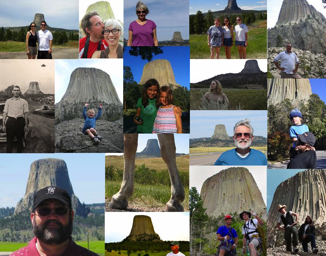
| The many faces of Devils Tower, courtesy Google Images; click to view. |
Literature Cited
Carpenter, F.R. 1888. Notes on the geology of the Black Hills. Prelim report of the Dakota School of Mines, Rapid City.
Darton, N.H. 1909. Geology and water resources of the northern portion of the Black Hills and adjoining regions in South Dakota and Wyoming. USGS Prof. Paper No. 65, pp. 68-69.
Halvorson, D.L. 1980. Geology and petrology of the Devils Tower, Missouri Buttes, and Barlow Canyon area, Crook County Wyoming: Grand Forks, University of North Dakota, Ph.D. thesis, 218 p.
Jaggar, T. A. Jr. 1901 Laccoliths of the Black Hills. 21st Ann Rep, USGS, Pt. 3.
Newton, H. and Jenney, W.P. 1880. Rept. on the geology and resources of the Black Hills of Dakota. U. S. Geographic and Geologic Survey of the Rocky Mountains Region. Washington.
Pirsson, V. L. 1894. Description of the character of the igneous rocks making up Mato Teepee and the Little Missouri Buttes. Amer. Journal Science, Vol. XLVII, pp. 341-346.
Russell, I. C. 1896. Igneous intrusions in the neighborhood of the Black Hills of Dakota. Journal Geology. Vol. 4.
Zavada et al. 2009. On the geological origin of Devils Tower, Wyoming; a new hypothesis constrained by field research, analogue and thermal modeling data, and gravimetric survey. Abstracts with Programs - Geological Society of America 41: 444.